MH OUTDOOR
855-220-0423
Home
About
Our Billboards
Digital Billboards
Partnersips and Affiliations
Creative & Media Kit
Landowners
Bill Pay
Why Billboards?
Contact
More
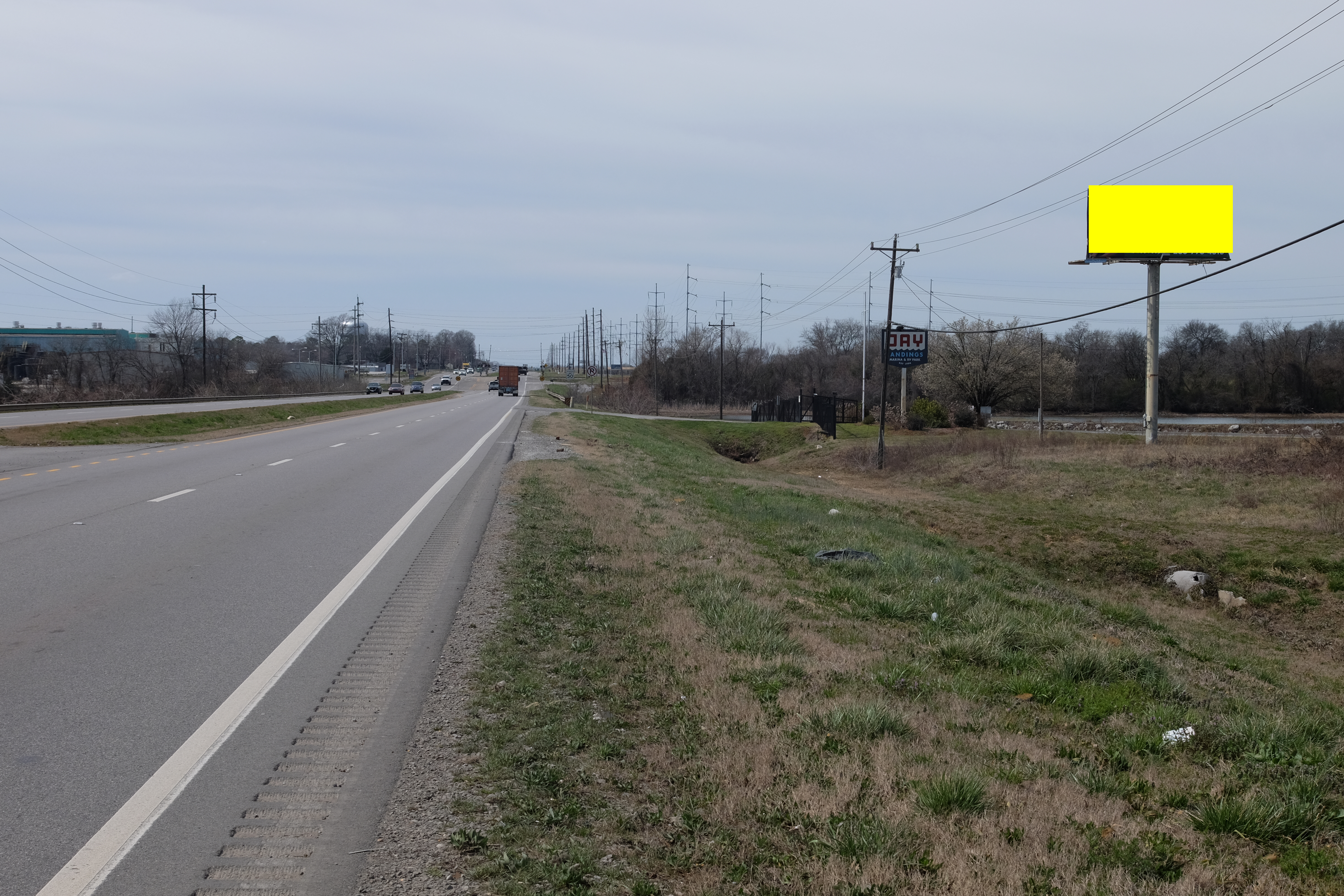
ALT212A.1
Decatur
Lat
Long
Size:
Wkly PerView:
34.61951
-87.01115
12'x24'6
172207
Notes:
Hwy 20 mm 66.9 Jay Landing, E/F
AL20A.1
34.512159
-86.96948
10'6x36'0
139286
Hwy 31 S.-Milepost 353.43 North of Railroad Tracks,North of Hartselle, N/F
AL29A.1
34.556019
-86.90762
10'6x40'0
542094
I-65 AT MM 334.95, S/F
AL21A.1
34.620259
-87.05666
190141
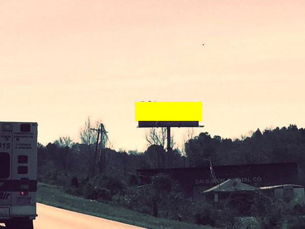
Highway 20 MP 64.31L West of Beltline, E/F
AL27B.1
34.553238
-86.90654
559174
I-65 AT MM 334.34, N/F
ALT217B.1
34.57907
-86.97793
12'x40'
454482
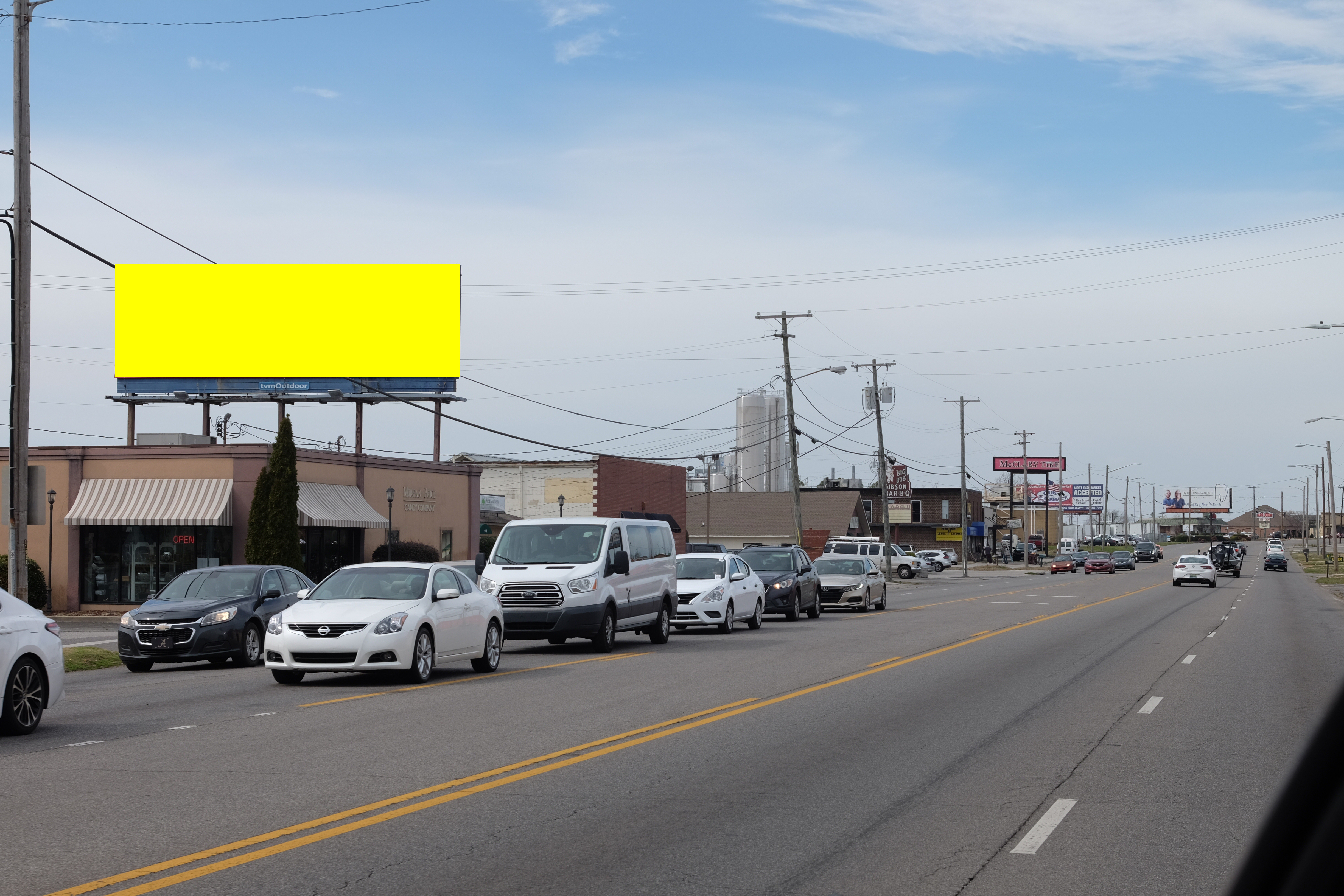
Hwy. 31 mm 356.14 @ Morgan Price Candy, S/F
AL30B.1
34.55732
-86.90817
551376
I-65 AT MM 335.045R, N/F
AL43B.1
34.597493
-87.03084
12'x48'
111139
Highway 67 MP 44.01R (Beltline) South of Highway 24 N/S, N/F
AL29B.1
552888
I-65 AT MM 334.95, N/F
ALT213B.1
34.619393
-87.00815
176862
Hwy 20 mm 67.08, W/F