MH OUTDOOR
855-220-0423
Home
About
Our Billboards
Digital Billboards
Partnersips and Affiliations
Creative & Media Kit
Landowners
Bill Pay
Why Billboards?
Contact
More
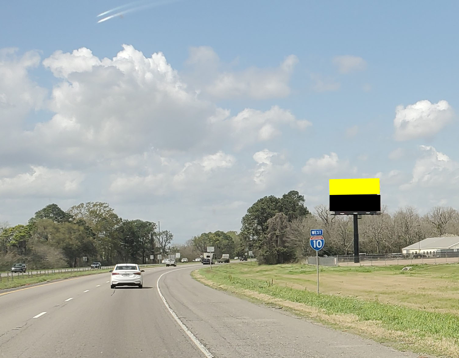
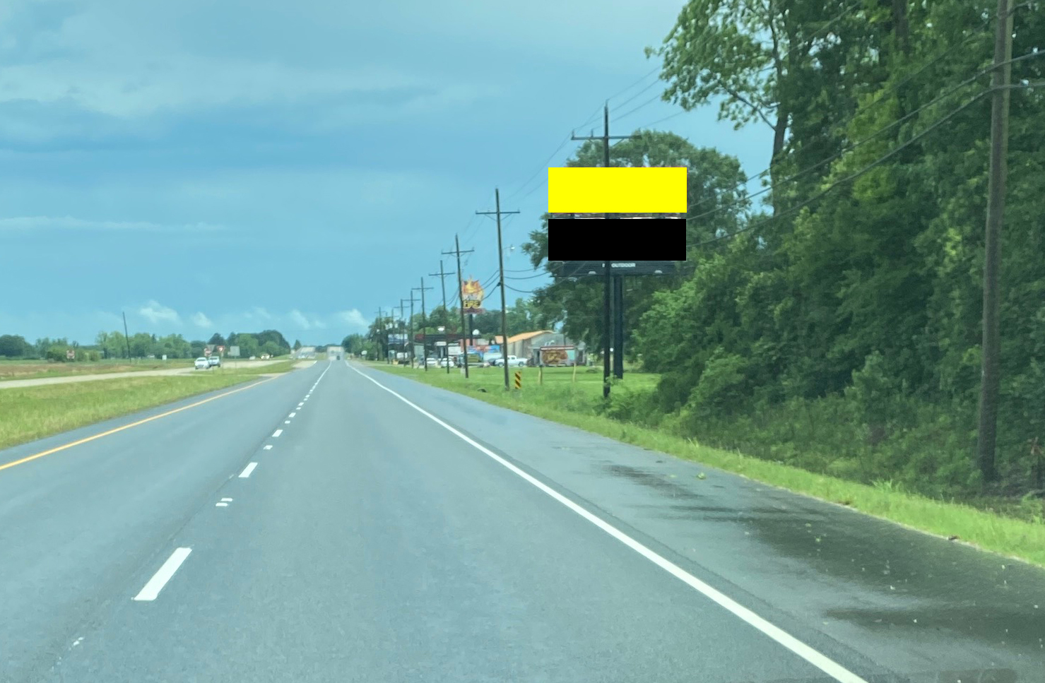
LA120AT.1
Port Allen
Lat
Long
Size:
Wkly PerView:
30.44186
-91.21954
12'0x40'0
744653
Notes:
I-10 0.6 miles W. of Hwy. 1, E/F
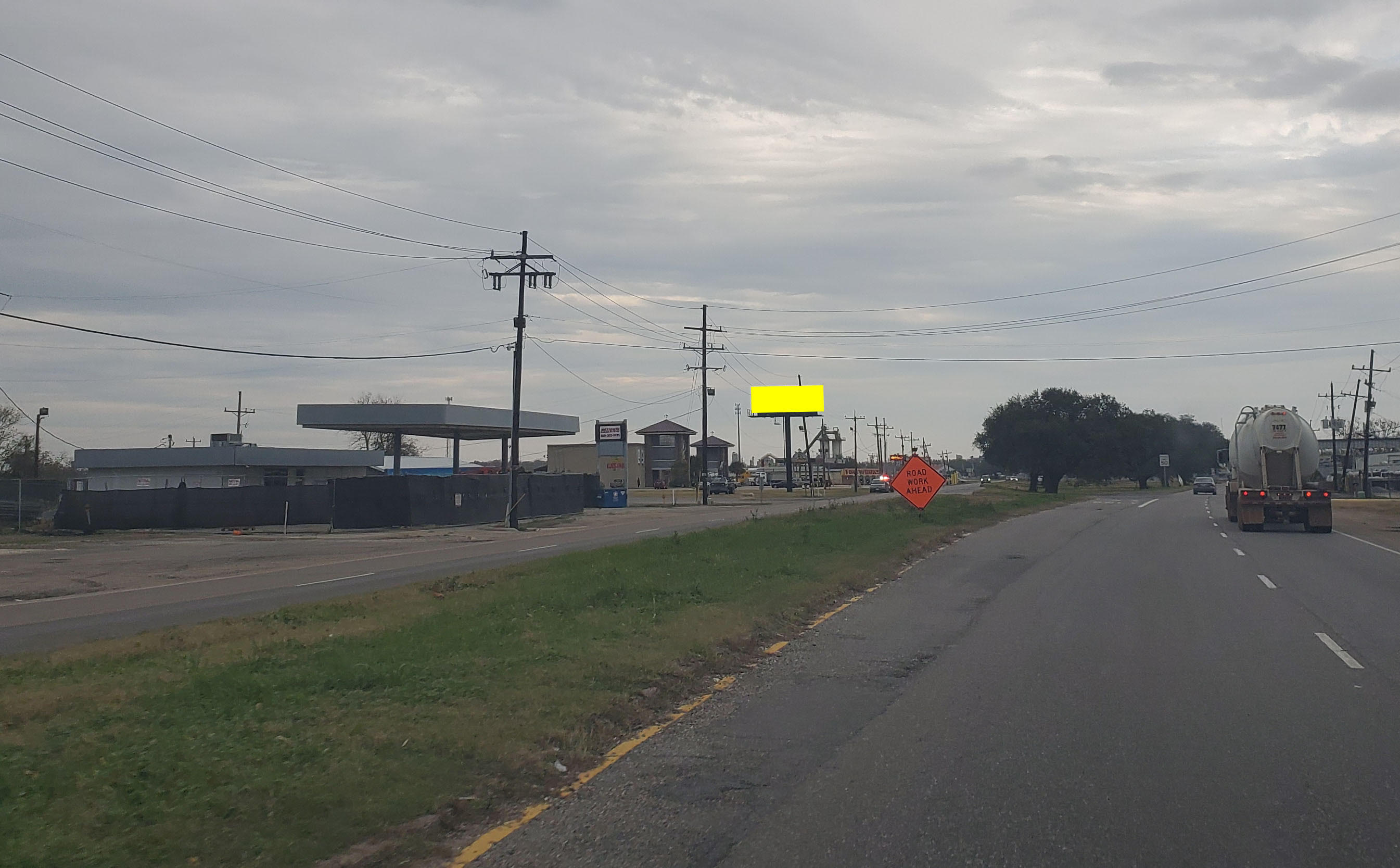
LA124A.1
30.505978
-91.21947
10'0x32'0
116935
Hwy 190 E., 0.19 miles, W. of W. Service Rd., E/F
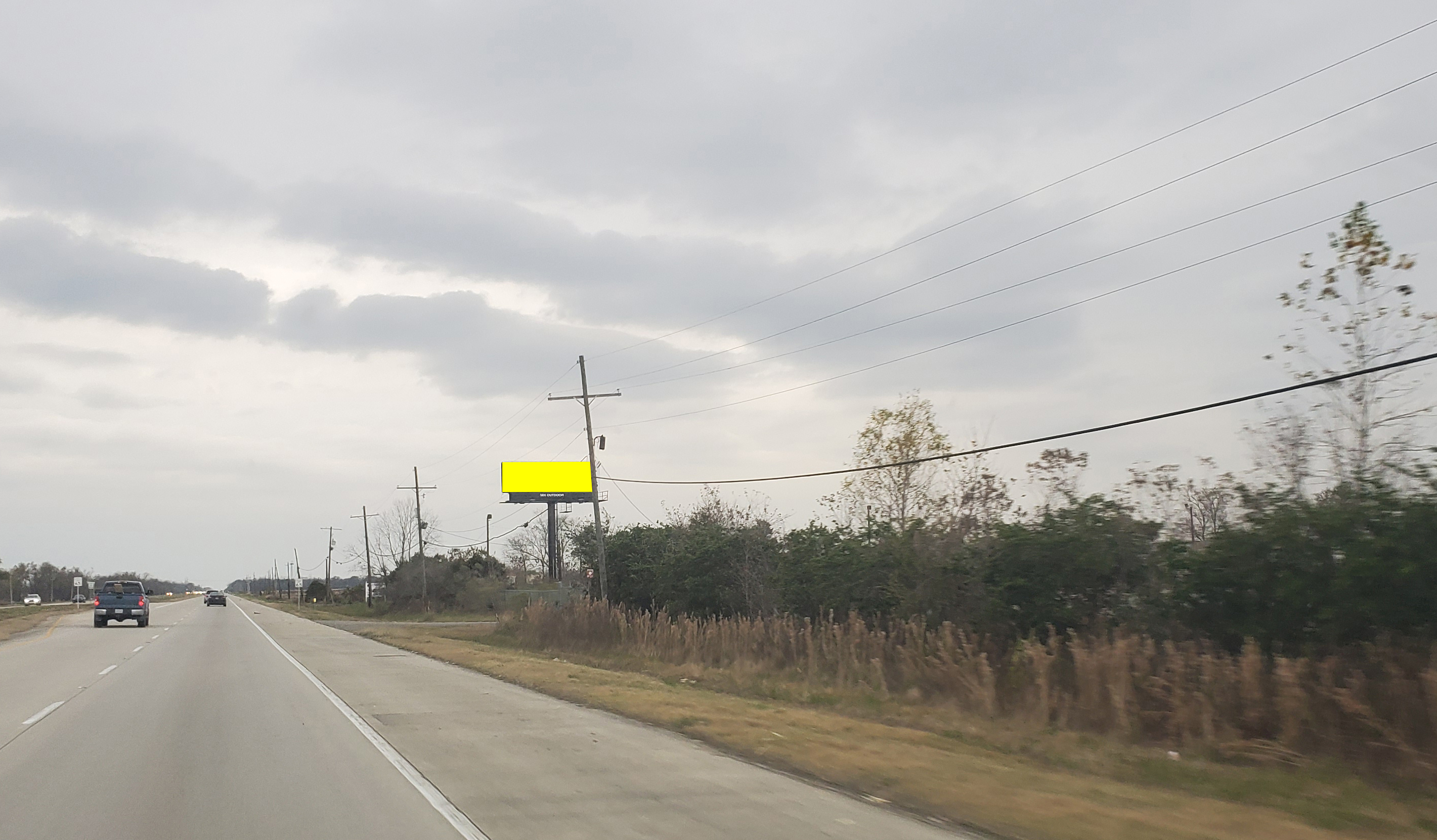
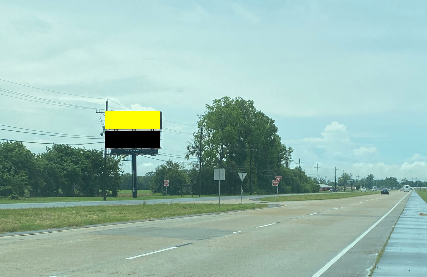
LA121BB.1
30.467195
-91.24965
10'x32'
278761
1510 Highway E/S, 0.41 mi N/O Rosedale Rd, N/F
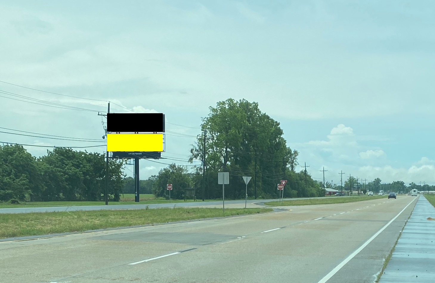
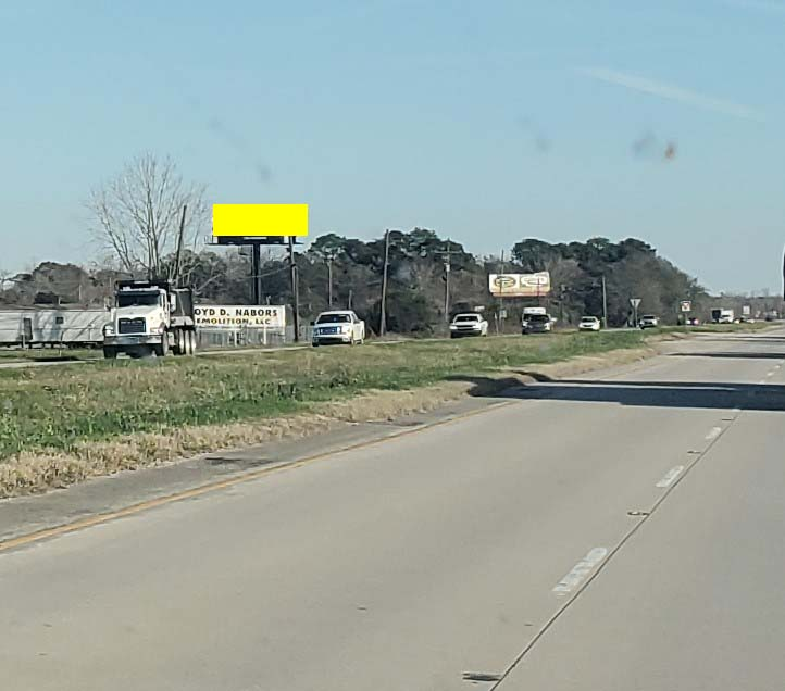
LA122B.1
30.49157
-91.28317
163730
Hwy 190 W. 0.28 miles W of Allendale Rd., W/F
LA121AT.1
172781
1510 Highway E/S, 0.41 mi N/O Rosedale Rd, S/F
LA121BT.1
LA124B.1
112644
Hwy 190 E., 0.19 miles, W. of W. Service Rd., W/F
LA120AB.1
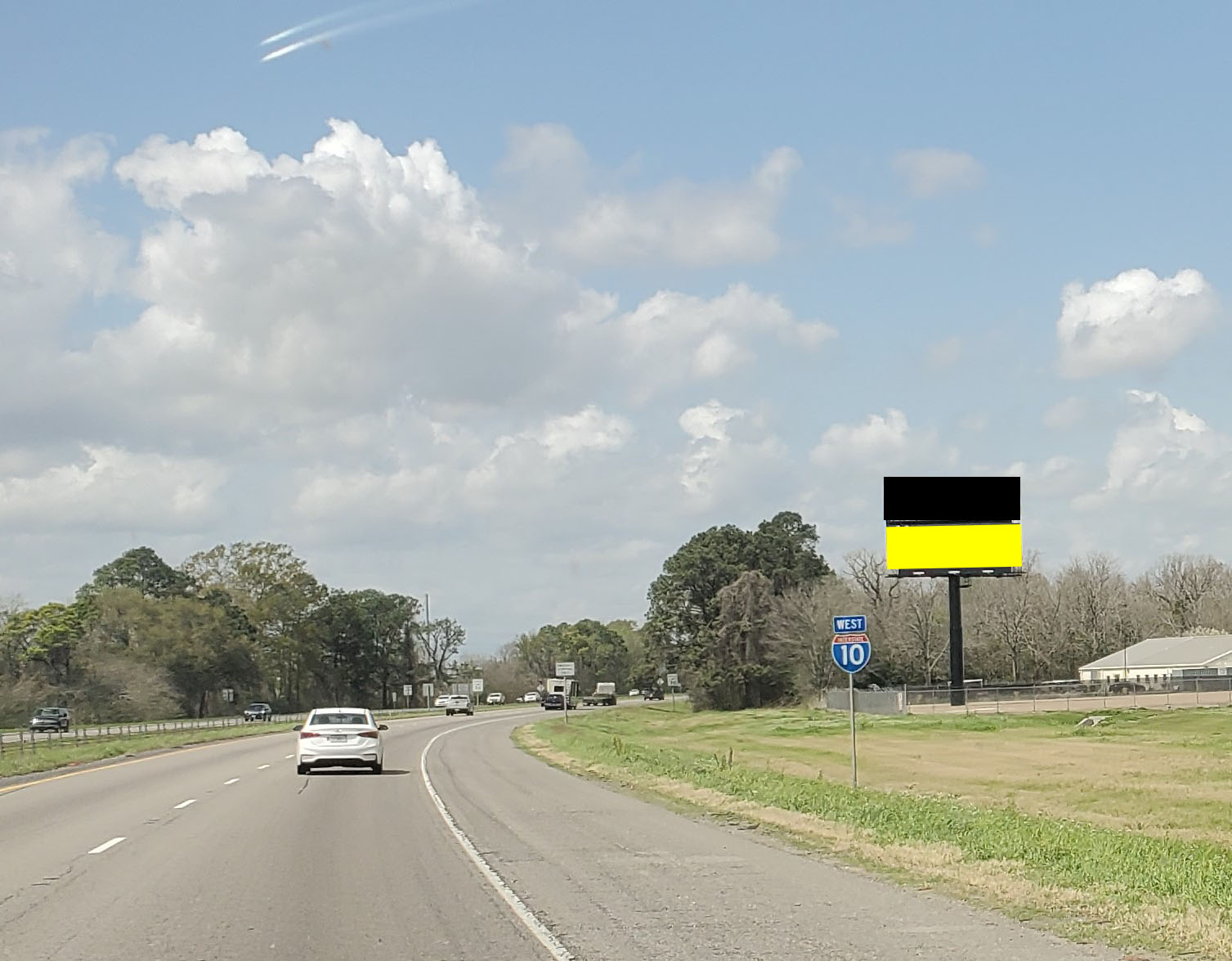
LA77A.1
Vinton
30.173102
-93.59381
10'0x40'0
508263
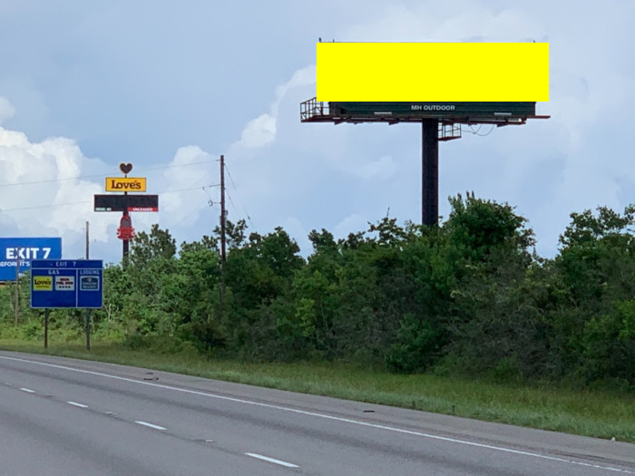
S/S of IH-10, 2300 feet W/o FM 3063 (West St.) Exit 7, W/F
LA77B.1
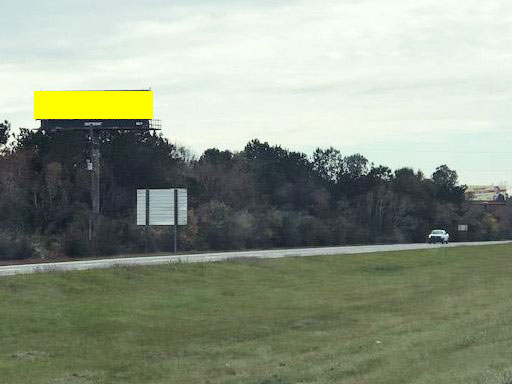
659113
S/S of IH-10, 2300 feet W/o FM 3063 (West St.) Exit 7, E/F